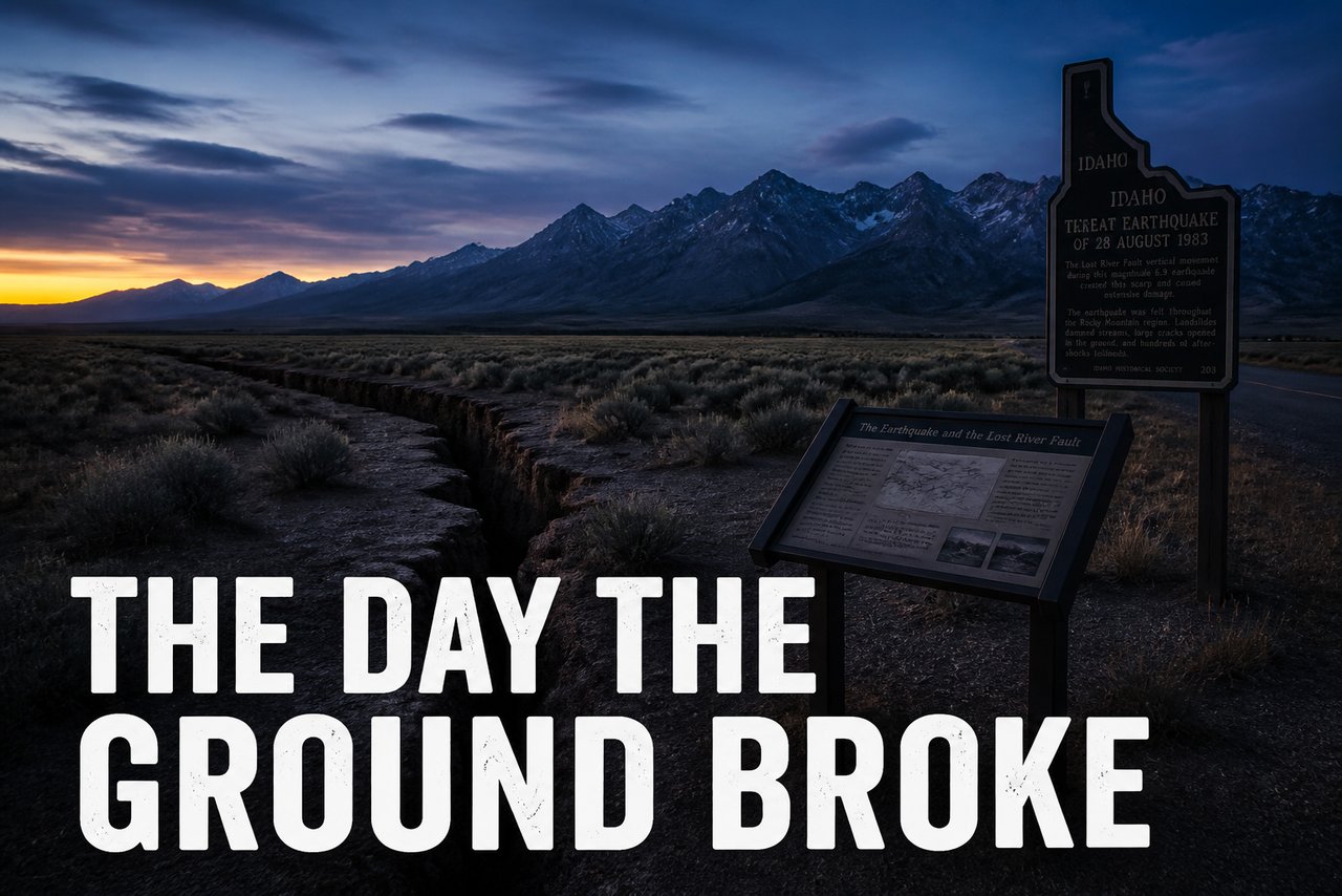
The Day the Ground Broke: The Borah Peak Earthquake Interpretive Site
On the morning of October 28, 1983, the largest earthquake in Idaho's recorded history broke loose from beneath the Lost River Range. The Borah Peak earthquake - magnitude about 7 by most modern estimates - opened fault scarps across the valley floor, dropped the valley side of the Lost River fault, set off rockslides and sand boils all through the region, and took two lives in the Challis area. Today the earthquake has its own roadside classroom: an interpretive site along Highway 93 near Mackay, where you can stand at the edge of a scarp the ground itself made and read what happened in the space of half a minute.
Reading the Ground
The interpretive displays do a fine job of making a violent geological event understandable. The Lost River fault is one of the great normal faults of the Basin and Range - the mountain side riding up, the valley side dropping - and in 1983 it moved dramatically along more than twenty miles of its length. The scarps that evening were ten feet high in places. Springs changed their courses. The town of Mackay lost its water system for a time; the community hauled water and patched chimneys through a cold October while aftershocks kept the valley awake for weeks.
Standing at the site today, the scarps have softened into grassy steps in the sagebrush, but they are still unmistakable once you know what you are looking at - a clean, level break running for miles across country that otherwise looks empty. The signs help you find them, and the setting, with Borah Peak itself towering over the valley, gives the whole story a fitting stage.
Why It Matters
We have stood at a lot of historical markers that remember people and events long past. This one remembers an event that living memory covers - there are plenty of folks in the valley who were there that morning, and the museum in Mackay keeps their photographs and accounts. That changes how it feels. The ground under your rig, peaceful as this valley looks, is still doing the slow work of mountain-building, and 1983 was just a loud reminder.
The site is a short drive from Mackay on the highway toward Challis, easy to reach in the tow car, and pairs naturally with the museum's earthquake exhibit. Stop on your way north; give it thirty minutes, and take the mountains with a new respect.